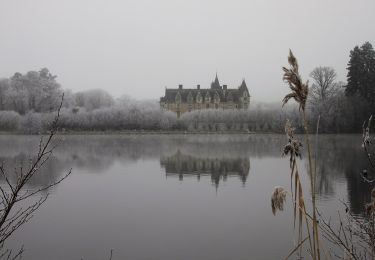
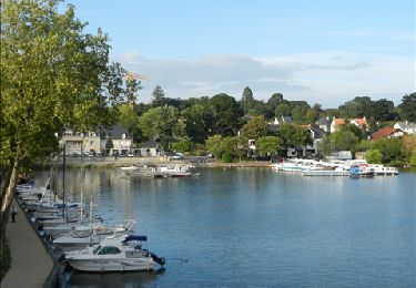
4,2 km | 5,2 km-effort
fffffffcc
Alain MARQUOIS
Benutzer
Länge
10,9 km
Maximale Höhe
42 m
Positive Höhendifferenz
104 m
Km-Effort
12,2 km
Min. Höhe
5 m
Negative Höhendifferenz
101 m
Boucle
Ja
Erstellungsdatum :
2022-01-08 08:05:07.194
Letzte Änderung :
2022-02-26 20:57:38.707
36h58
Schwierigkeit : Schwierig
Kostenlosegpshiking-Anwendung
Über SityTrail
Tour Wandern von 10,9 km verfügbar auf Pays de la Loire, Loire-Atlantique, La Chapelle-sur-Erdre. Diese Tour wird von Alain MARQUOIS vorgeschlagen.
Ort
Land:
France
Region :
Pays de la Loire
Abteilung/Provinz :
Loire-Atlantique
Kommune :
La Chapelle-sur-Erdre
Standort:
Unknown
Gehen Sie:(Dec)
Gehen Sie:(UTM)
609536 ; 5239043 (30T) N.
Kommentare
Touren in der Umgebung
grand circuit Erdre/Gesvres
Zu Fuß
Einfach
La Chapelle-sur-Erdre,
Pays de la Loire,
Loire-Atlantique,
France
1h 10min
Nein
Entre Terres et Rivières
Zu Fuß
Einfach
Carquefou,
Pays de la Loire,
Loire-Atlantique,
France
4,6 km | 5,1 km-effort
1h 9min
Nein
Carquefou les hauts
Wandern
Einfach
(2)
Carquefou,
Pays de la Loire,
Loire-Atlantique,
France
10,3 km | 11,6 km-effort
2h 34min
Ja
Jour 3
Hybrid-Bike
Medium
Sucé-sur-Erdre,
Pays de la Loire,
Loire-Atlantique,
France
8,9 km | 10,1 km-effort
36min
Ja
Jour 1
Hybrid-Bike
Einfach
Sucé-sur-Erdre,
Pays de la Loire,
Loire-Atlantique,
France
13 km | 14,6 km-effort
56min
Ja
La Source, Le Rupt, l'ancienne voie de chemin de fer
Zu Fuß
Einfach
La Chapelle-sur-Erdre,
Pays de la Loire,
Loire-Atlantique,
France
5,5 km | 6,2 km-effort
1h 25min
Nein
Les Bords de l'Erdre
Zu Fuß
Einfach
Carquefou,
Pays de la Loire,
Loire-Atlantique,
France
4,4 km | 5 km-effort
1h 8min
Nein
Entre Erdre et marais
Wandern
Sehr leicht
Sucé-sur-Erdre,
Pays de la Loire,
Loire-Atlantique,
France
5,9 km | 6,9 km-effort
1h 32min
Ja
gr3 et vallée du cens
Mountainbike
Einfach
(1)
La Chapelle-sur-Erdre,
Pays de la Loire,
Loire-Atlantique,
France
25 km | 30 km-effort
Unbekannt
Ja